Peak Valley Aerials

From basic Photography to Lidar Site Scans, here at Peak Valley Aerials, we will deliver expectational results for whatever your needs are.

Peak Valley Aerials

From basic Photography to Lidar Site Scans, here at Peak Valley Aerials, we will deliver expectational results for whatever your needs are.

Peak Valley Aerials

From basic Photography to Lidar Site Scans, here at Peak Valley Aerials, we will deliver expectational results for whatever your needs are.

Peak Valley Aerials

From basic Photography to Lidar Site Scans, here at Peak Valley Aerials, we will deliver expectational results for whatever your needs are.

0 / 4
PVA

About PVA

At Peak Valley Aerials, we combine a decade of professional photography experience with advanced geospatial technology to deliver exceptional services for construction and building projects. With a degree in Digital Photography and a GIS Certificate, we specialize in photogrammetry, GIS mapping, LiDAR site scans, and augmented reality overlays. Our mission is to help clients stay on schedule, reduce costs, and showcase their projects with pride through precise data and stunning visuals. We are dedicated to understanding and meeting your needs, ensuring you have the tools and insights to bring your vision to life.

Brian Austin

CEO

Services

Aerials Photography & Videography

Professional aerial photography and videography services to showcase construction and building projects from a unique perspective.

Ground Photography & Videography

Professional ground photography and videography services to capture the finer details of construction and building projects.

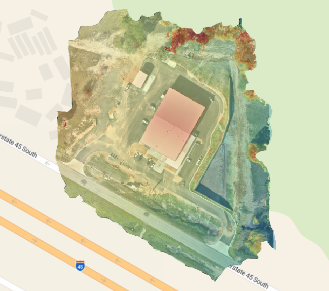
Photogrammetry

Professional photogrammetry services, delivering accurate 2D maps and 3D models from high-resolution aerial imagery.

Geographic Information System (GIS)

Expert GIS services to support construction and building projects with advanced spatial analysis and data visualization.

Augmented Reality Overlays

Using tools like Trimble SiteVision, we showcase IFC files in real-world environments, and with Pix4Dcatch, we create before-and-after comparisons using overlays from previous scans.

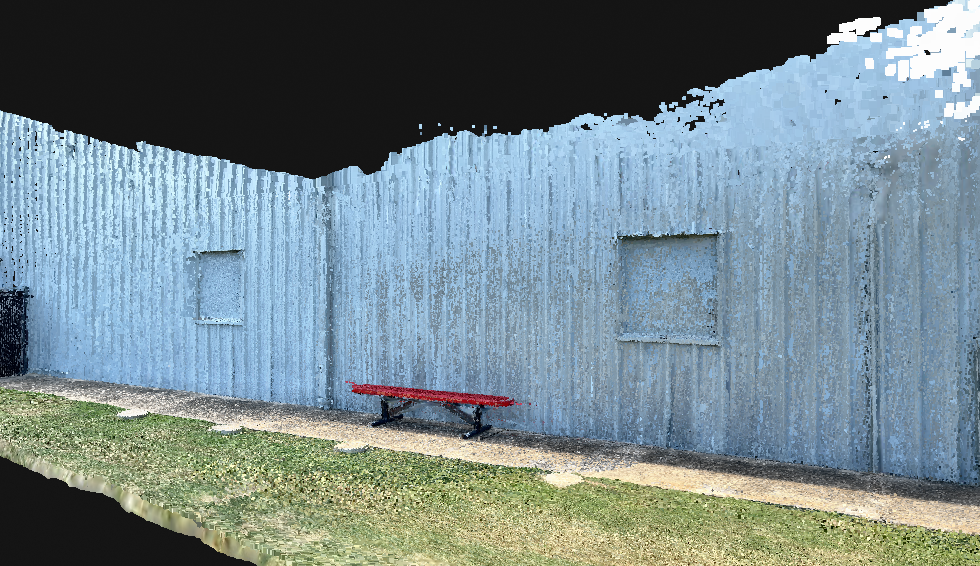
Lidar Site Scans & Virtual Walkthroughs

Our services provide detailed 3D point cloud data for accurate measurements, site analysis, and planning, which architects can seamlessly integrate into Autodesk software.

Portfolio

Testimonials

"Peak Valley Aerials is an exceptional partner for our commercial real estate projects. Brian's services extend beyond aerial photography & videography to include professional finish-out photography. Their high-quality images and videos have helped us track construction progress, identify potential issues, and create stunning marketing materials that attract potential clients. The team is always professional, efficient, and eager to help. I highly recommend them to anyone in the industry."

Aamir Chandio

"Brian is an absolute pro. His creativity, drone videography and photography are stunning. What really impressed me was his willingness to go the extra mile—he even brought and used a different gear setup to capture non-drone footage at our shoot, just to be helpful. Professional, versatile, and easy to work with, Brian exceeded all expectations. Highly recommend!"

Michael Beach

"Brian goes over and beyond the call of duty for his customers. We are very lucky to find him as a part of our team. If you want the best, please reach out to Brian and you will get 1st class service plus more."

Chase Claypoole

Who We Are

Who We Are Who We Are Peak Valley Aerials is a cutting-edge aerial photography, photogrammetry, and GIS company that delivers…

Read more
let's talk

Contact Us

Whether you’re looking to capture stunning landscape views, real estate shots, or unique perspectives for your project, we’re here to help. Please fill out the form below with your details and project requirements, and we’ll get back to you as soon as possible to discuss how we can bring your vision to life.